Unlocking the City’s Secret Walkways

Step into a smarter way to move through dense streets by using crowdsourced maps of hidden pedestrian passages that shave minutes off the last mile. With locals sharing arcades, cut-through courtyards, mid-block stairs, and covered alleys, navigation becomes faster, safer, and surprisingly delightful. We’ll show how contributions are vetted, routed, and presented with landmark-rich guidance, so you can reach trains, offices, and cafés sooner while discovering the city’s human-scale fabric.

Why Shortcuts Change How We Walk

Hidden passages are the city’s quiet accelerators, turning meandering blocks into crisp diagonals that respect how humans actually move. By uncovering arcades, service corridors, and mid-block stairs, last‑mile travel shrinks, stress fades, and spontaneity returns to everyday commutes, deliveries, and errand chains.

Desire Lines and the City’s Unwritten Paths

Urban planners talk about desire lines: the informal traces feet leave when people choose efficiency over formality. Our shared map captures those lines respectfully, translating lived knowledge into precise segments, entrances, and timings that reflect real habits rather than idealized drawings.

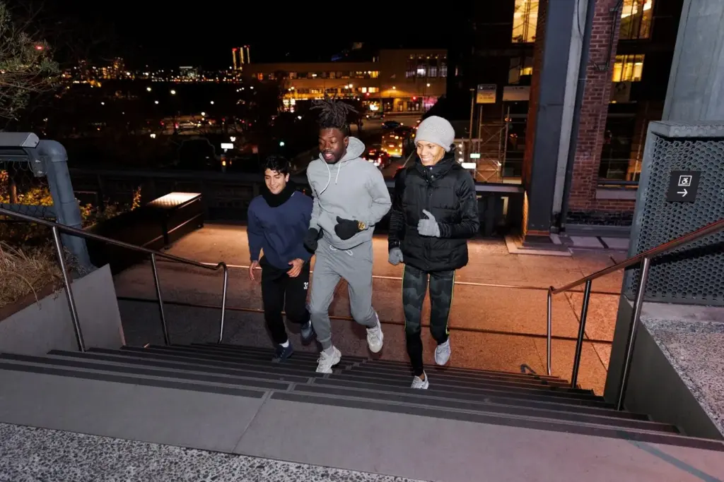
A Commuter’s Ten-Minute Miracle

Ask Nadia, who shaved ten minutes off her evening walk by slipping through a grocery arcade and a hospital courtyard that public signs never advertised. She mapped both with photos, hours, and lighting notes, and hundreds now enjoy calmer, quicker connections home.

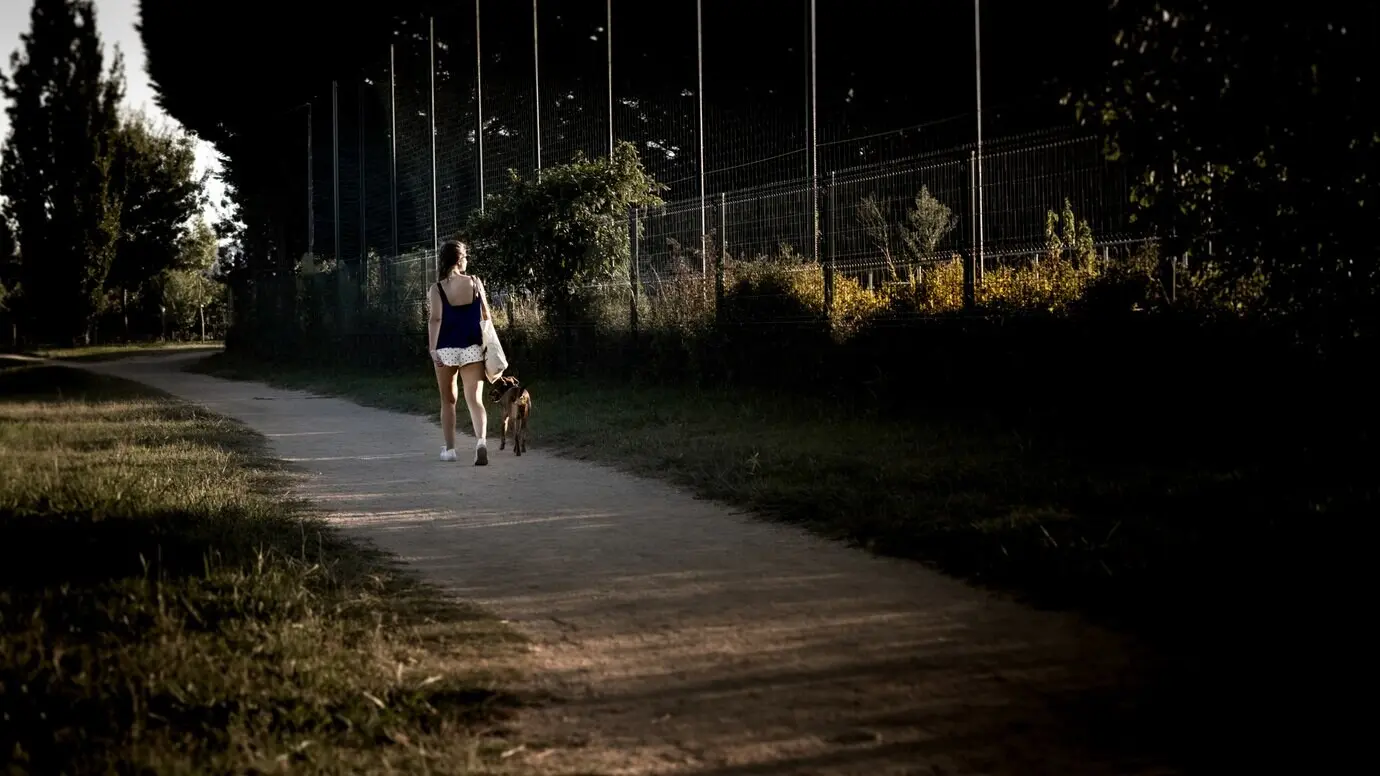
Risk, Reward, and Everyday Judgment

Every shortcut invites a judgment call: Is it open, welcoming, and safe at this hour? Contributors annotate etiquette, security presence, and alternative exits, so your decision weighs time saved against comfort, accessibility, and respect for spaces that host our quicker passage.

How the Crowd Maps What Signs Ignore

Traditional signage ignores micro-paths, but a walking crowd notices everything. By letting locals add entrances, hours, ramps, and whether a guard usually waves pedestrians through, the map becomes richer daily. Layered review, gentle prompts, and clear guidelines keep contributions meaningful, verifiable, and kind.

Contribution Flow That Fits a Walk

Adding a passage should feel like taking a breath between blocks: quick photo, entrance pin, notes on slope, width, surface, and coverage from rain. The flow rewards clarity, nudges for safety details, and celebrates small, accurate updates as equal to glamorous discoveries.

Truth, Trust, and Redundancy

Truth emerges when independent observations agree. We cross‑check timestamps, compare photos, and invite nearby walkers to confirm hours or temporary closures. Reputation grows from steady, careful edits, while anomalies trigger friendly pings that ask for clarity before anything risky reaches routing.

Respecting Privacy and Property

Respect is nonnegotiable. Faces blur by default, locations sensitive to safety appear generalized, and private spaces are labeled with etiquette notices and opt‑out mechanisms. We publish data handling rules in simple language, and we honor takedown requests swiftly without drama or judgment.

Data That Turns Alleys Into Reliable Routes

Turning whispers of a shortcut into dependable guidance requires structure. Each segment carries width, gradient, surface, lighting, shelter, surveillance, and operating hours, plus links to entrances. Merged with open mapping basemaps, those details empower foot-friendly routing that respects bodies, comfort, and changing conditions.
We document essentials pedestrians truly feel: stair count, riser height, ramp slope, doorway clearance, tactile paving presence, handrails, pavement smoothness, puddling risk, winter maintenance likelihood, and whether doors are pull, push, or sensor‑activated. These specifics prevent surprises and wasted detours under pressure.
Compatibility keeps effort valuable. We align tags with widely used open standards, so contributions complement existing footways, indoor corridors, and entrances. Clear mapping to established keys ensures exportability, bulk editing, and reuse by civic projects, accessibility advocates, and research teams measuring urban walkability.
Phones die, signals fade, and yet the last mile still matters. We compress the network, cache entrances and cues, and provide turn instructions that rely on visible landmarks. The result guides confidently underground, indoors, or between towers without burning battery or patience.

Routing for Real Streets, Not Perfect Grids

Cities are lumpy, windy, and alive, so the fastest path is rarely a straight line. Our routing weighs time alongside elevation, shelter from rain, crowding risk, crossing delay, and light levels, then adapts gracefully when conditions change, preserving calm, clarity, and tempo.

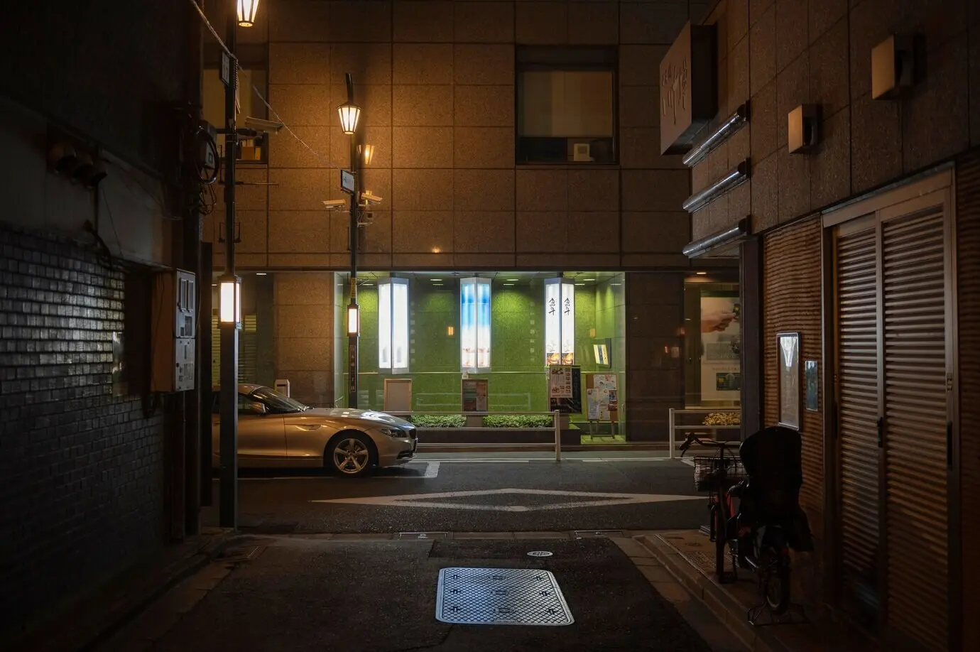
Cost Functions Beyond Pure Speed

Pure speed ignores what feet feel. We tune costs with penalties for steepness, unprotected exposure in storms, dim corridors, or awkward gates, and we reward shaded paths and step‑free links. The balance reflects different profiles, from delivery riders on foot to stroller‑pushing parents.

Live Changes Without Chaos

Closures happen: gates lock, festivals reroute flows, and construction blocks familiar cut‑throughs. Lightweight alerts, quick confirmation polls, and geofenced nudges update the network, so you never walk into a dead end. Routes pivot gently, explaining why, and suggest pleasant alternates nearby.

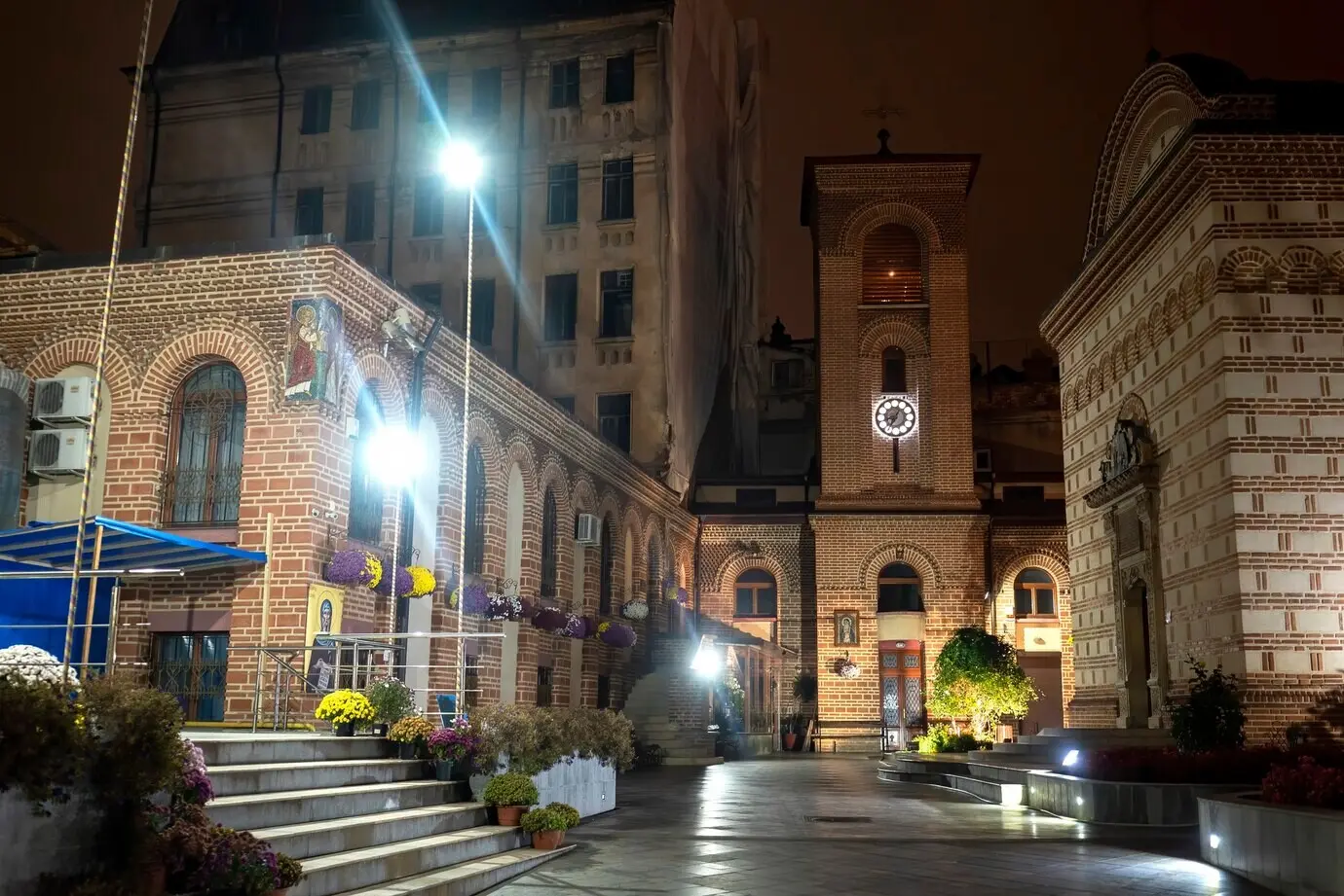
Landmarks, Micro-Cues, and Gentle AR

Humans prefer cues over coordinates. Directions highlight murals, kiosks, or a particular bakery smell, while subtle haptics pace turns. Where appropriate and safe, optional AR outlines a doorway or stairwell without clutter, emphasizing consent and the option to disengage instantly if distracting.

People Power: Motivation, Care, and Joy

A living map thrives on generosity, recognition, and lighthearted fun. Badges for careful edits, neighborhood quests, and seasonal challenges turn routine walks into tiny expeditions. Meetups, repair strolls, and curator spotlights build trust, while feedback loops show contributors exactly how many minutes they saved neighbors.

Onboarding With Tiny Missions and Wins

Starting is simple and affirming. Newcomers adopt a block, add one entrance, or verify closing times after dinner. Tiny missions reduce pressure, celebrate accuracy, and invite a short note about how the shortcut feels, transforming sterile pins into stories that spark local pride.

Local Stewards and Calm Moderation

Healthy communities need gentle guardians. Area stewards welcome edits, answer questions, and de‑escalate disputes with patience and kindness. Clear codes focus on behavior, not status, and tools highlight under‑mapped places, ensuring voices from quieter streets shape the map as much as downtown regulars.

Allies: Couriers, Campuses, and Neighborhood Hubs

Partnerships multiply impact. Couriers contribute peak‑hour insight, campuses map indoor connectors between faculties, and neighborhood groups mentor youth mappers. In return, organizations receive aggregated metrics, safety learnings, and recognition, weaving the project into daily life rather than leaving it as distant infrastructure.

Access for Every Body, Every Context

Speed must never exclude. The map highlights step‑free links, tactile cues, benches for resting, and elevator reliability, and it warns about narrow doors or polished stone. Ratings reflect different bodies and days, honoring fatigue, strollers, canes, delivery trolleys, and neurodivergent comfort with sensory environments.

Rolling, Guiding, and Sensing the Details

Wheelchair users and parents pushing prams navigate with different constraints than trail runners. We foreground curb cuts, turning radii, ramp angles, auto‑door timings, and resting spots, while keeping step counts explicit. Audio cues and crisp haptics support low‑vision travelers without demanding constant screen attention.

Night Safety, Weather, and Care Signals

Safety is practical, not abstract. Night ratings weigh lighting, open sightlines, and human presence; reports flag loitering, harassment, or aggressive vehicles. Weather overlays suggest covered options in storms and breezier walks in heat, treating comfort as a core ingredient of reliable navigation.

Language-Light, Data-Light, Barrier-Light

Walking thrives when language and data barriers shrink. Interfaces use icons, color, and offline packs, while translations and local voice notes keep nuance. Contributors with limited connectivity queue edits for later, and SMS links share precise entrance pins without requiring smartphones or accounts.

Tarisentovexomirapira
Privacy Overview

This website uses cookies so that we can provide you with the best user experience possible. Cookie information is stored in your browser and performs functions such as recognising you when you return to our website and helping our team to understand which sections of the website you find most interesting and useful.